|
| *****SWAAG_ID***** | 935 |
| Date Entered | 28/07/2016 |
| Updated on | 03/08/2016 |
| Recorded by | Tim Laurie |
| Category | Geological Record |
| Record Type | Geological HER |
| Site Access | Public Access Land |
| Record Date | 27/07/2016 |
| Location | Scargill High Moor, Ellerbeck Hush |
| Civil Parish | Scargill |
| Brit. National Grid | NY 990 103 |
| Altitude | 400m |
| Geology | Main Limestone strata exposed at small ravine cut by Eller Beck with the Ellerbeck Lead Mine level and open cast Lead Mine hush. |
| Record Name | Scargill High Moor. Ellerbeck Lead Mine hush and limestone ravine. |
| Record Description | This record shows the interesting limestone scenery and open cast lead mine hush above the small ravine cut through the Main Limestone by the upper reaches of Eller Beck on Scargill High Moor. |
| Dimensions | See photos |
| Image 1 ID | 6792 Click image to enlarge |
| Image 1 Description | View towards the Ellerbeck Hush from below the Ellerbeck Lead Mine Level | 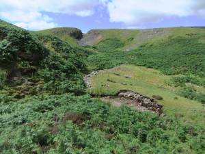 |
| Image 2 ID | 6793 Click image to enlarge |
| Image 2 Description | The Ellerbeck Hush. View South eastward. | 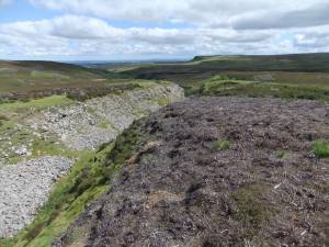 |
| Image 3 ID | 6794 Click image to enlarge |
| Image 3 Description | The Ellerbeck Hush. View North Westward. | 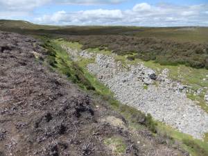 |
| Image 4 ID | 6795 Click image to enlarge |
| Image 4 Description | Main Limestone revealed beneath glacial till at Ellerbeck Spring. | 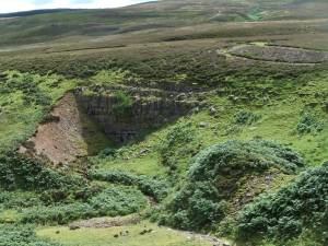 |
| Image 5 ID | 6796 Click image to enlarge |
| Image 5 Description | Ellerbeck head ravine. Limestone strata | 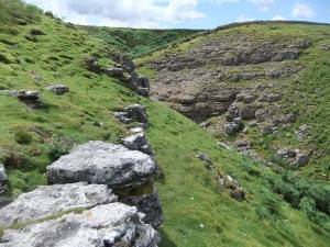 |
| Image 6 ID | 6797 Click image to enlarge |
| Image 6 Description | Ellerbeck head ravine. Limestone strata | 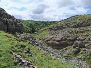 |
| Image 7 ID | 6798 Click image to enlarge |
| Image 7 Description | Ellerbeck dry valley | 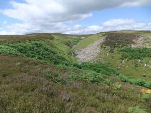 |
| Image 8 ID | 6799 Click image to enlarge |
| Image 8 Description | Ellerbeck. Water sinks into a small cavern of unknown depth. | 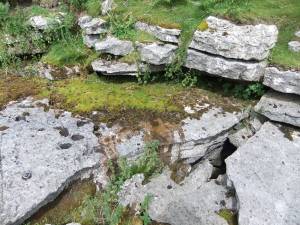 |
| Image 9 ID | 6800 Click image to enlarge |
| Image 9 Description | Ellerbeck rises again at Ellerbeck Spring, a small cave of debouchure. | 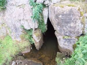 |


